

Three days, four upgrades
The India Meteorological Department’s bulletin on Sunday morning placed a deep depression over the east-central and adjoining south-east Bay of Bengal at 15.3°N, 91.2°E — about 880 km east-south-east of Visakhapatnam and 440 km north-north-west of Sri Vijaya Puram in the Andamans (IMD bulletin via Ommcom News).
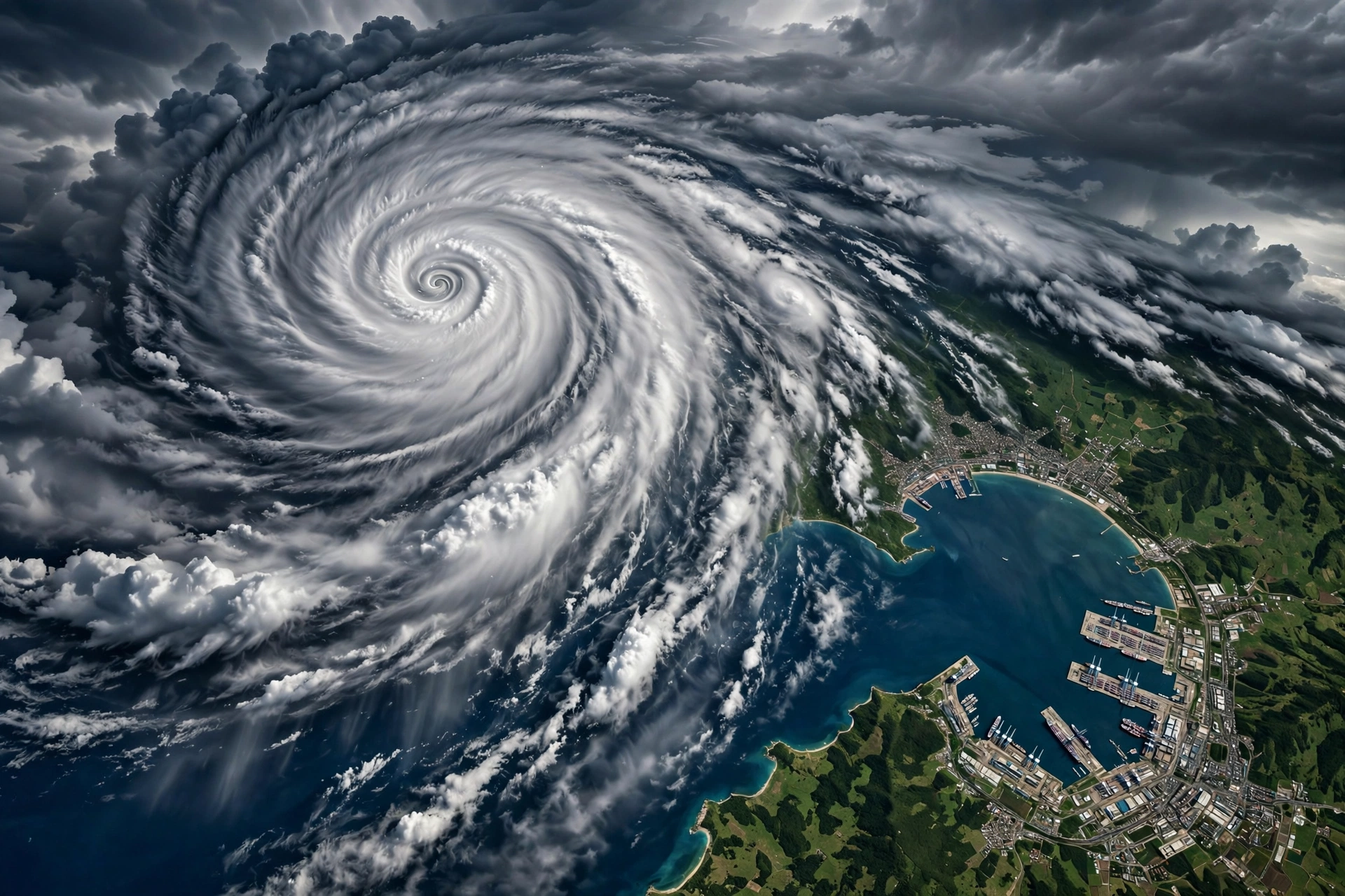
From there, the forecast is a staircase. The system is expected to become a cyclonic storm by the early morning of October 26, strengthen into a severe cyclonic storm over the west-central Bay around the morning of October 27, and reach very severe strength near the Andhra coast by the morning of October 28 (IMD bulletin via Ommcom News). It carries the name Arnab — a name contributed by Bangladesh, meaning “ocean” (Deccan Chronicle).
Landfall: between Bapatla and Visakhapatnam
The IMD expects the storm to cross the Andhra Pradesh and Yanam coasts between Bapatla and Visakhapatnam by the forenoon of October 28, as a very severe cyclonic storm with maximum sustained wind speeds of 115–125 kmph, gusting to 140 kmph (IMD bulletin via Ommcom News). The department has issued an Orange Message for the coast, and a cyclone alert is in force for Andhra Pradesh and adjoining south Odisha (ABP Live).
The rain may reach further than the wind. Extremely heavy rainfall is forecast for coastal Andhra Pradesh on October 27 and 28, with Odisha, Telangana and Chhattisgarh also expecting heavy rain as the system pushes inland (ABP Live).
The preparations are already under way
Both states have moved before the storm has finished forming — which is precisely the point of a three-day forecast. In Andhra Pradesh, control rooms have been activated and officials are monitoring the safety of more than 30,000 fishing boats across 12 coastal districts; fishermen have been advised not to venture into the sea until October 29, and vessels already at sea have been told to return to the coast (Mirror Now).
In Odisha, a red warning is in place for the southern and coastal districts of Ganjam, Gajapati, Rayagada, Koraput and Malkangiri, where rainfall could exceed 20 cm in 24 hours; 60 units of the Odisha Disaster Rapid Action Force and 17 teams of the National Disaster Response Force have been deployed (Mirror Now). Chief Minister Mohan Charan Majhi has reviewed the state’s preparedness and directed officials to work towards zero casualties, while President Droupadi Murmu’s scheduled two-day visit to Odisha from October 28 has been postponed because of the storm (Indian Express). The Andhra disaster management authority’s managing director, Prakhar Jain, has cautioned people against lowering their guard and urged them to remain “extremely alert” (Indian Express).
Why this storm deserves respect
First, late October is the Bay of Bengal’s dangerous season. The post-monsoon weeks combine warm sea surfaces with calmer upper winds — the recipe for rapid intensification, which is exactly the pattern the IMD is describing: depression to very severe cyclonic storm in about three days.
Second, the landfall corridor is crowded. The Bapatla–Visakhapatnam stretch holds major ports, dense coastal towns and one of India’s largest fishing fleets. A storm of 115–125 kmph does not need to be a record-breaker to do serious damage there; it needs only to arrive where people and boats are concentrated.
Third, the real test is the rain after landfall. The track takes the system inland towards Telangana and Chhattisgarh, and Odisha’s red-warning districts face the kind of 24-hour totals that flood first and make headlines later. India’s east coast has spent two decades learning — at terrible cost, in earlier eras — that the goal of a modern cyclone response is the one Odisha’s chief minister stated outright this weekend: zero casualties. The machinery visible today, from boat-tracking to pre-deployed rescue units, is that doctrine in action. It is the same region we wrote about this week in a very different context — a reminder that the northern Indian Ocean’s coasts, from the Gulf to the Bay of Bengal, are where weather and geopolitics keep colliding with the people who live on them.
What to watch
Three things will decide how bad this gets: whether the landfall point shifts north towards Odisha or holds on the Andhra coast; how quickly the storm weakens after crossing, which sets the inland flooding risk; and whether the fishing fleet is fully in by October 27, when the sea becomes dangerous well ahead of the centre. The next IMD bulletins on Monday will tighten all three answers.